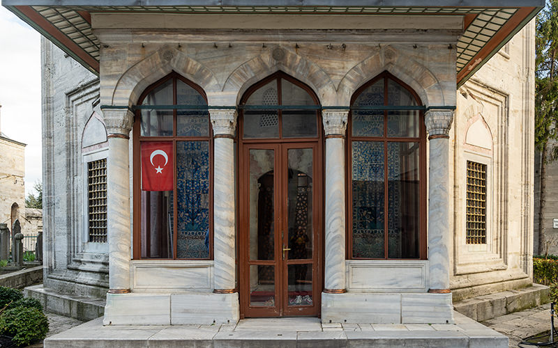
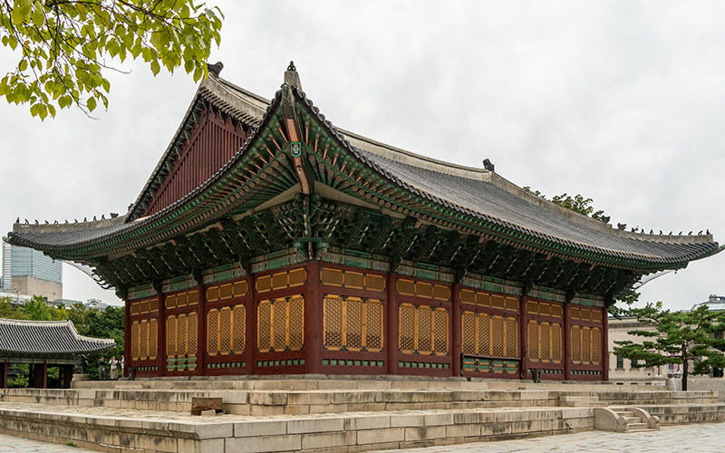
Seoul is a metropolis where even the most ordinary piece of urban infrastructure can turn into a tourist attraction. Not long ago, I wrote about Seoullo 7017 — a former overpass transformed into a large landscaped pedestrian zone. Today, I’d like to show you what Cheonggyecheon Stream looks like — a true green oasis nestled among modern high-rises.


A Walk Along the Stream
In the past, Cheonggyecheon was a small stream once used for sewage drainage. According to websites about Seoul’s landmarks, the stream used to be a headache for the ruling dynasty, as it often overflowed with water running down from the surrounding mountain ranges. In the 20th century, the stream was redirected into a concrete channel, and an elevated highway was built over it.


In 2005, the area around Cheonggyecheon was revitalized, and the new pedestrian zone quickly became one of the city’s most popular spots for both travelers and locals. Today, the stream is lined with neat, well-maintained walkways, green plantings, resting spots, and graffiti-covered walls.
Cheonggyecheon Stream is about 11 kilometers long, and I walked around two of them. Many visitors don’t just relax by the stream — they have small picnics here as well. The place stands in stark contrast to the surrounding cityscape. While modern skyscrapers tower in nearby neighborhoods, here you might feel like you’ve gone far out of town: the stream banks are lush with greenery, and ducks and herons inhabit the waters.


Cheonggyecheon is crossed by 22 bridges. For pedestrians walking along the stream, there are also small bridges and stepping stones, allowing you to cross from one side of the water to the other during your walk.
After dark, parts of the stream are illuminated with colorful lights, and the small waterfall at the western end of the promenade is lit up too. During various city events and festivals, the area near the stream becomes a popular gathering spot.


How to Get There
Access to the stream is open 24/7. You can start your walk from any point along the route — there are several subway stations nearby. Google Maps doesn’t build pedestrian routes in the city, but you can use the Naver app. For subway navigation, the Subway app is a good choice.


I started my walk from Gwanghwamun Station and headed east. At the end of my route, I turned onto Dongho-ro Street to see the Dongdaemun Gate and then continued to Dongdaemun Design Plaza. I’ll tell you about that unique building in my next article about Seoul.
Have a nice trip!