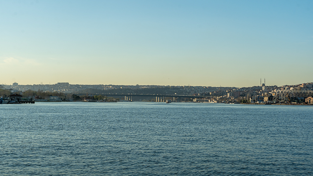
The Golden Horn Bay is one of the symbols of the vibrant and remarkable Istanbul. Many travelers cross it multiple times during their walks around the city, as some of the most famous landmarks of Istanbul’s historic center are located near the Golden Horn. I invite you on a two-hour walk along one of the bay’s shores — the northern one.
Geographically, the Golden Horn is part of the Bosphorus Strait, which separates the European and Asian sides of Istanbul. The Turkish name for the Golden Horn is Haliç, which translates as "river mouth."
My route took about two hours, covering approximately ten kilometers. At the endpoint, you’ll find a metro station and a tram stop, allowing you to return to the city center.
Our walk begins in Sarayburnu Park, which can be considered one of Istanbul’s observation points: from here, you get a great view of the Bosphorus and the Golden Horn. Occasionally, huge cruise liners or massive warships dock in this part of the city. Closer to Kennedy Street, there is a statue of Atatürk.
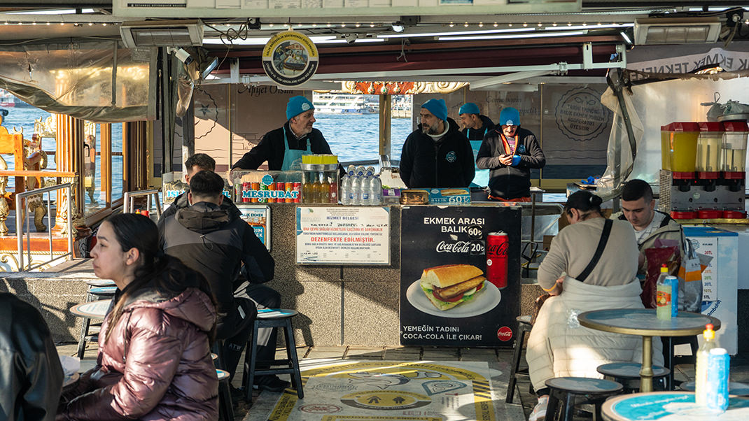
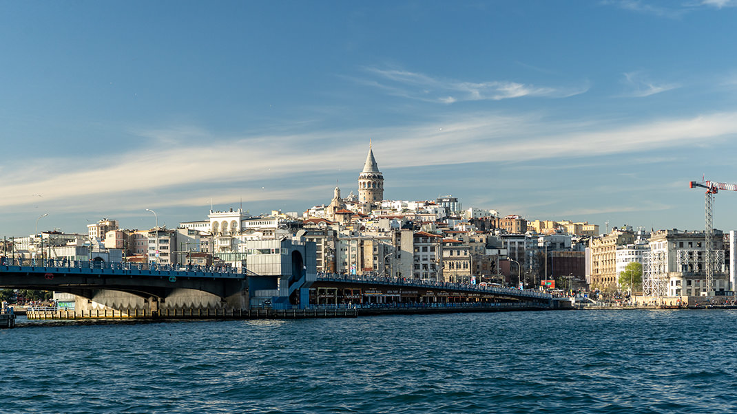
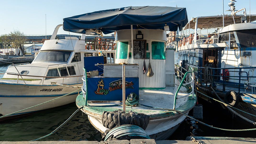
We head towards the Galata Bridge. Before reaching it, we will encounter the Eminönü Pier. This area is always crowded: there are metro, tram stations, and a city ferry terminal nearby. Many people come here just to relax by the water and enjoy the view of the Galata Tower on the opposite shore of the Golden Horn. By the way, on the other side of the bay, west of the Galata Bridge, there are several restaurants and stalls where you can buy the famous Istanbul balik dürüm — a fish wrap in flatbread. There is also a small wooden observation deck in the shape of an amphitheater.
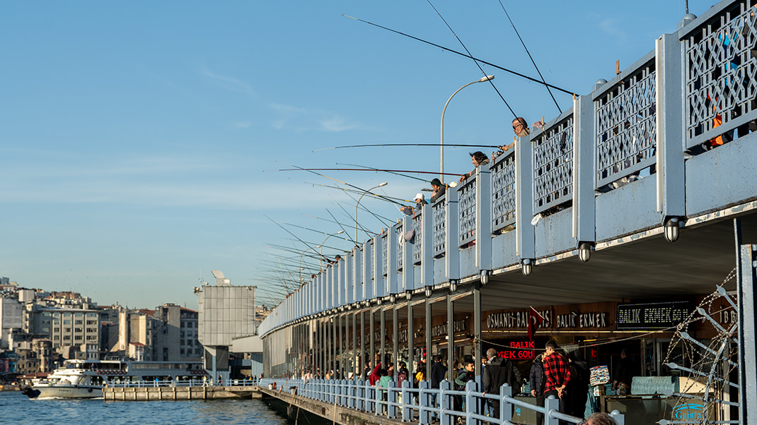
The Galata Bridge itself is also well-known to almost all visitors. The current bridge is already the fifth crossing at this site. The previous structure was damaged by a fire in 1992. The bridge is two-tiered, with the upper level hosting car, pedestrian, and tram lanes, while the lower level is home to numerous restaurants offering various fish dishes, though they are much more expensive here than in many other places.
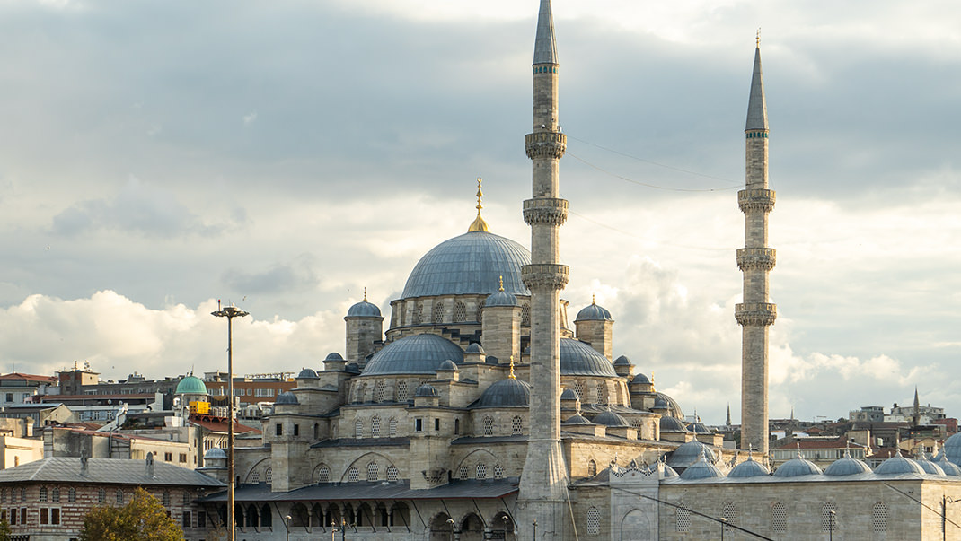
At the southern end of the bridge stands the Yeni Cami (New Mosque), built between 1597 and 1663. I recently published an article on the history of this building.
The next crossing we will encounter on our route is the Haliç Metro Bridge. Its construction began in 2004. Five years later, UNESCO raised concerns that the structure negatively impacted the view towards the Süleymaniye Mosque, prompting architects to modify the original design: the height of the structure was reduced by 17 meters. The bridge opened in 2014, with a metro station located directly on it.
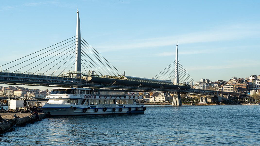
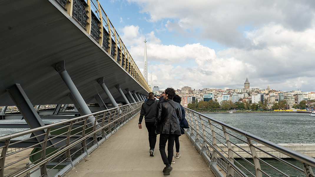
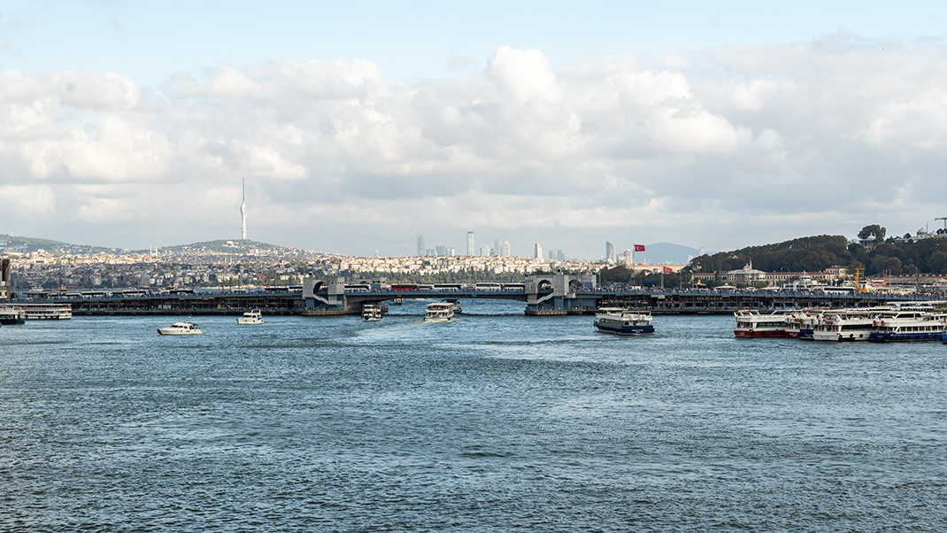
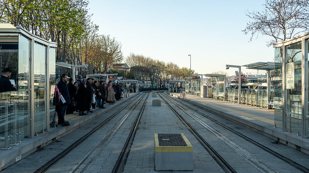
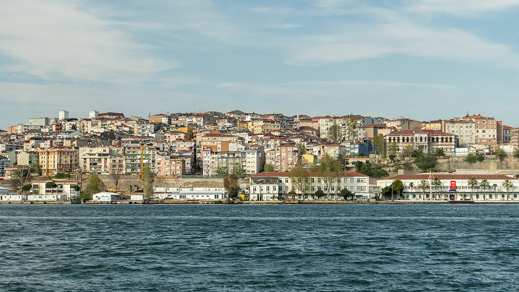
The further part of the route along the Golden Horn will pass through the two parks. Locals walk and fish here, and there are several spots where you can buy fish wraps or tea. The T5 tram line also runs here, and you can repeat this route by tram if you wish.
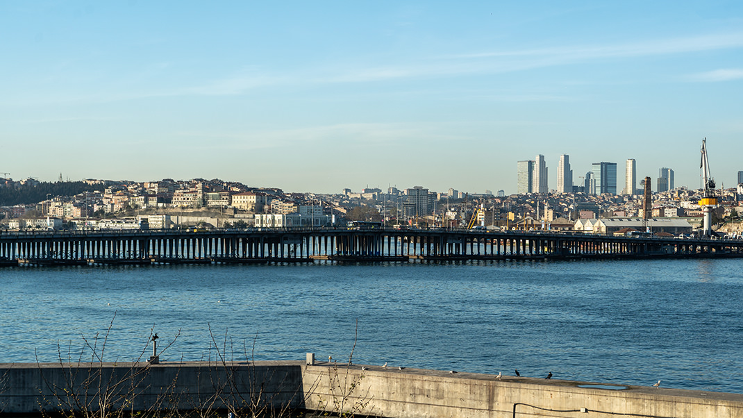
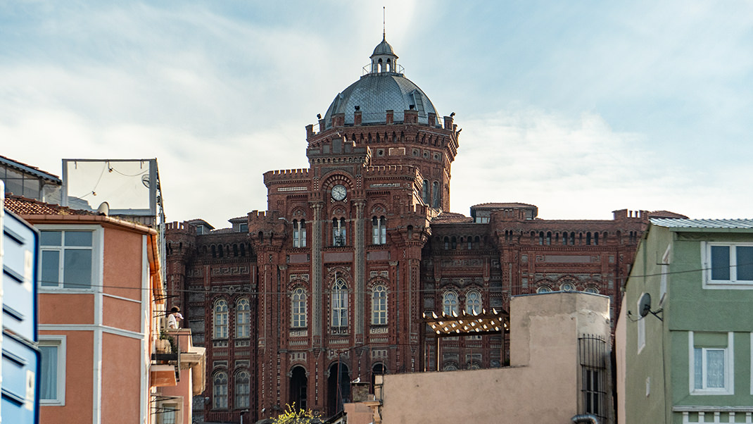
In the area we are walking through, there are many landmarks. If you venture into the neighborhoods, you can reach the Selim Yavuz Mosque or the Constantinople Patriarchate complex. In my opinion, the most remarkable building here is the Fener Greek School, sometimes called the "Red Castle." The structure was built in 1881.
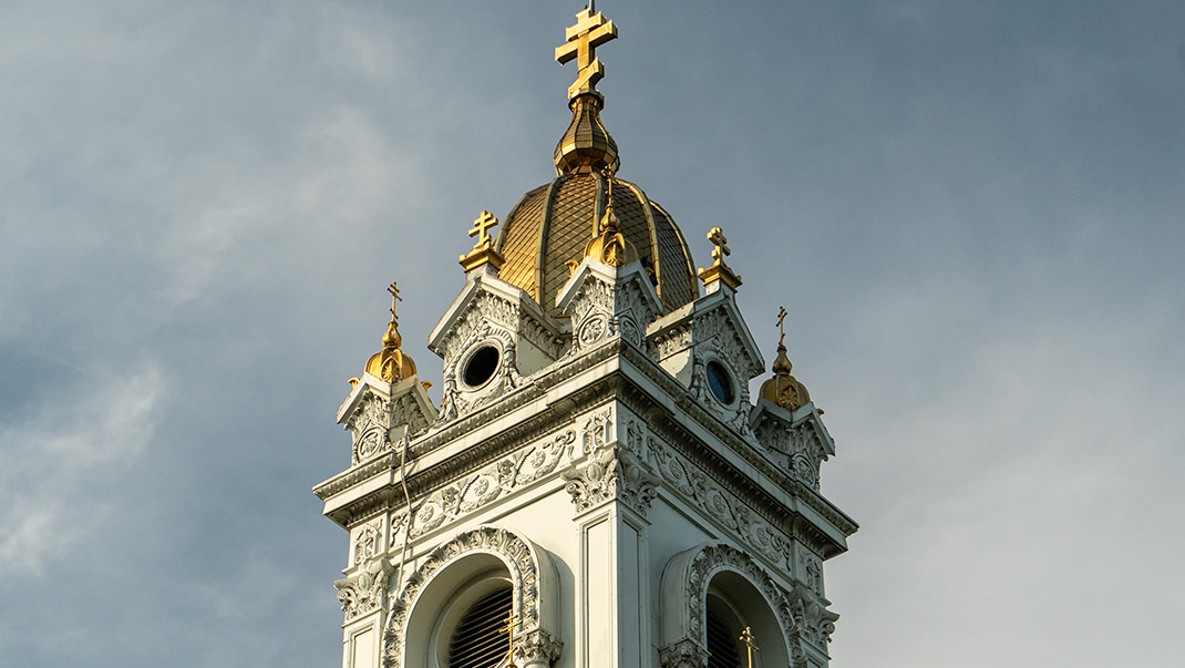
Another notable structure along this stretch is the Bulgarian Church of St. Stephen, also known as the Bulgarian Iron Church. As the name suggests, the building is famous for its iron walls. It was built in the late 19th century. You can read more about this church in a separate article.
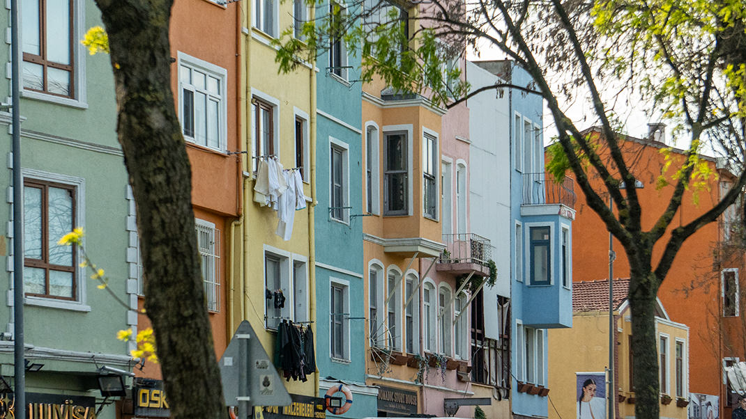
The next interesting place is the Balat district. It will be hard to appreciate it without deviating from the route, but if you have time, it's worth visiting. The area is known among tourists for its many colorful buildings. It’s one of the most popular spots for taking memorable photos during a trip to Istanbul.
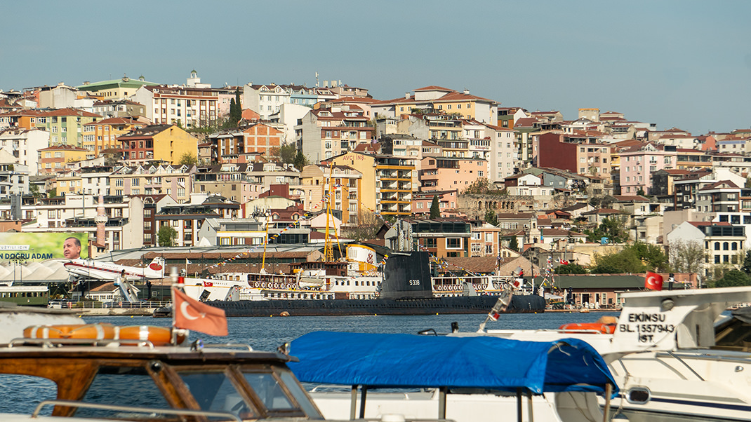
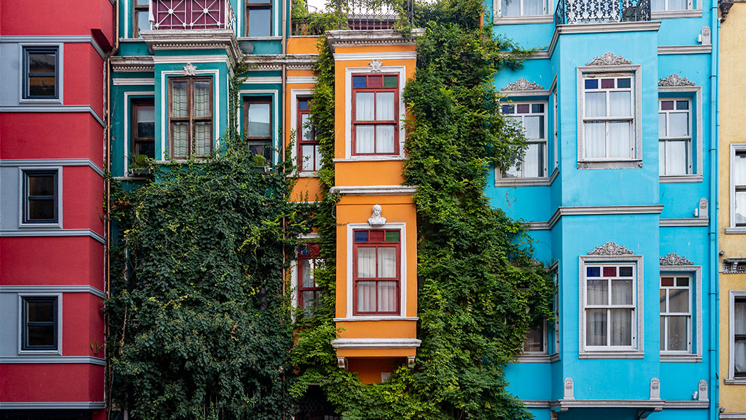
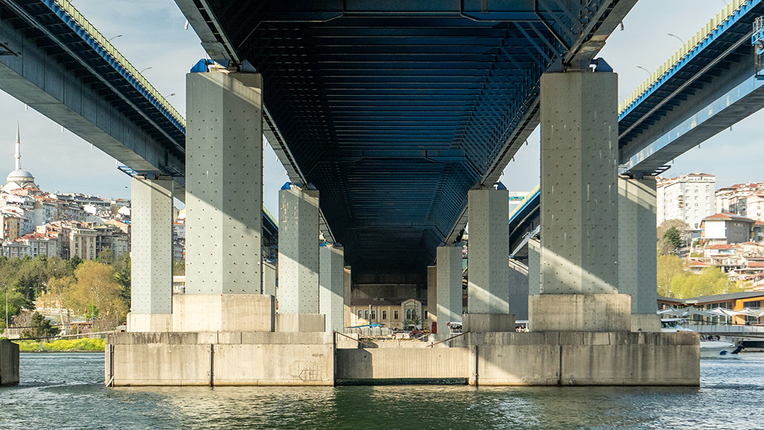
We continue along the bay. Along the way, you will come across remnants of ancient walls that once protected the city. Not much remains of them, but you can still get an idea of how these structures looked in the past. The wall line extends south from here, and if you wish, you can return to walk along them and reach the Yedikule Fortress. Interestingly, in the sections of the walls facing the Golden Horn, there used to be gates for ships to enter the inner harbors.
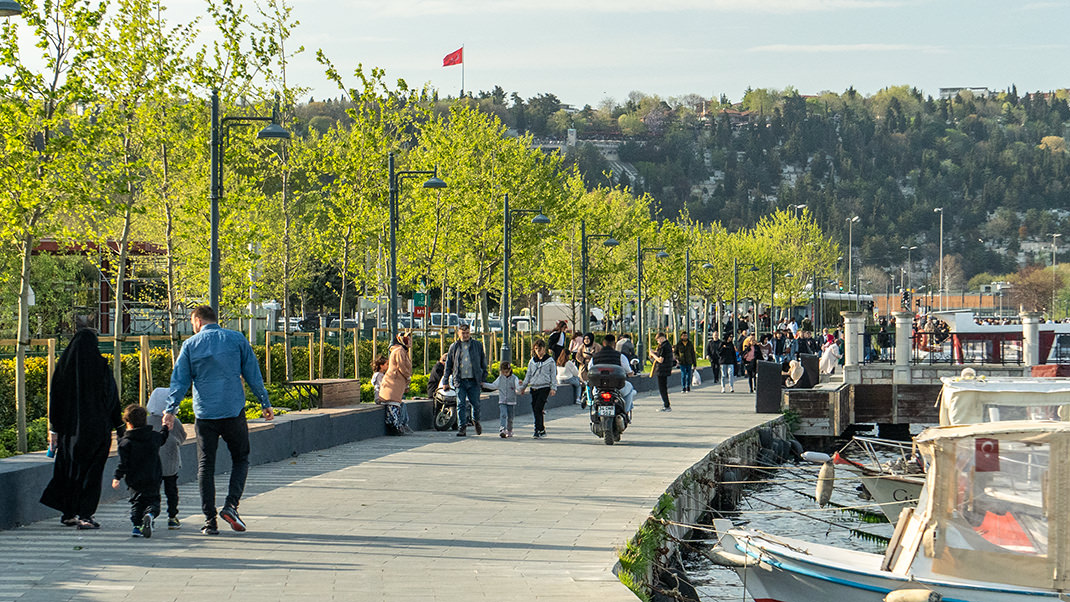
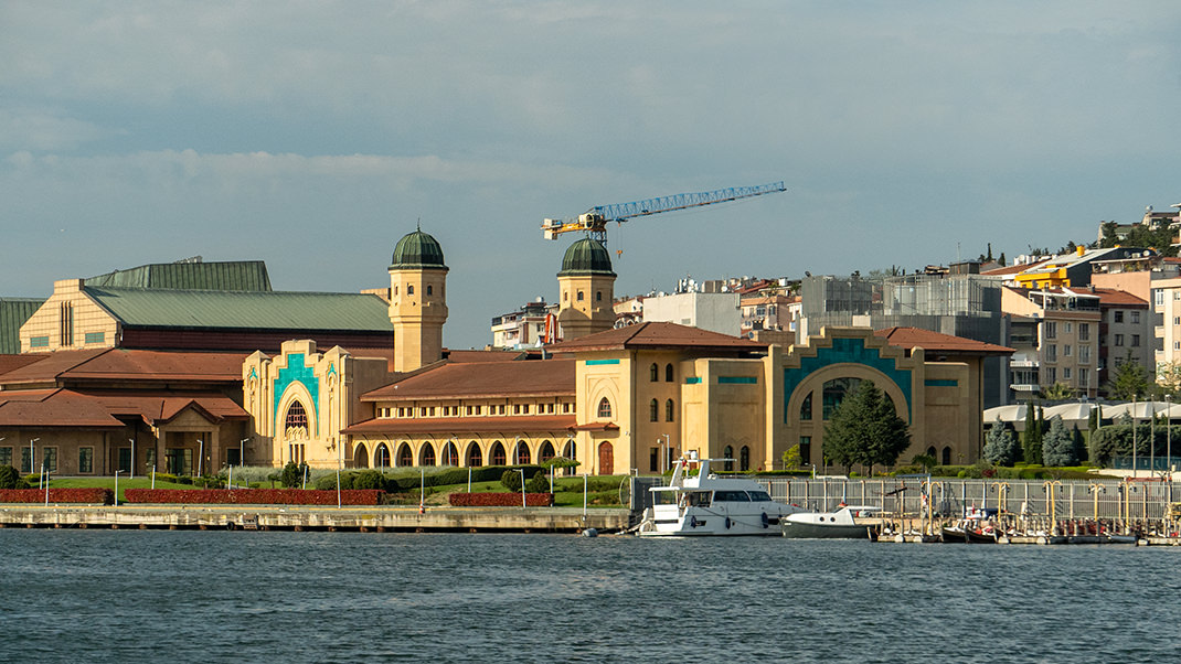
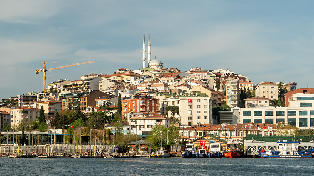
The next point on the route is the Eyüp Sultan Cable Car, located near the tram station of the same name. The cable car track is 384 meters long, and the system opened in 2005. The first time I visited the upper station of the cable car was at sunset, offering a truly magical view of the bay. By the way, I haven’t yet mentioned the origin of the name "Golden Horn." One version is that it is connected to the reflection of the sun in the bay's waters. Another version suggests the bay’s shape resembles a horn, while a third associates the name with the gold Byzantines threw into the bay’s waters when they were attacked by the Turks.
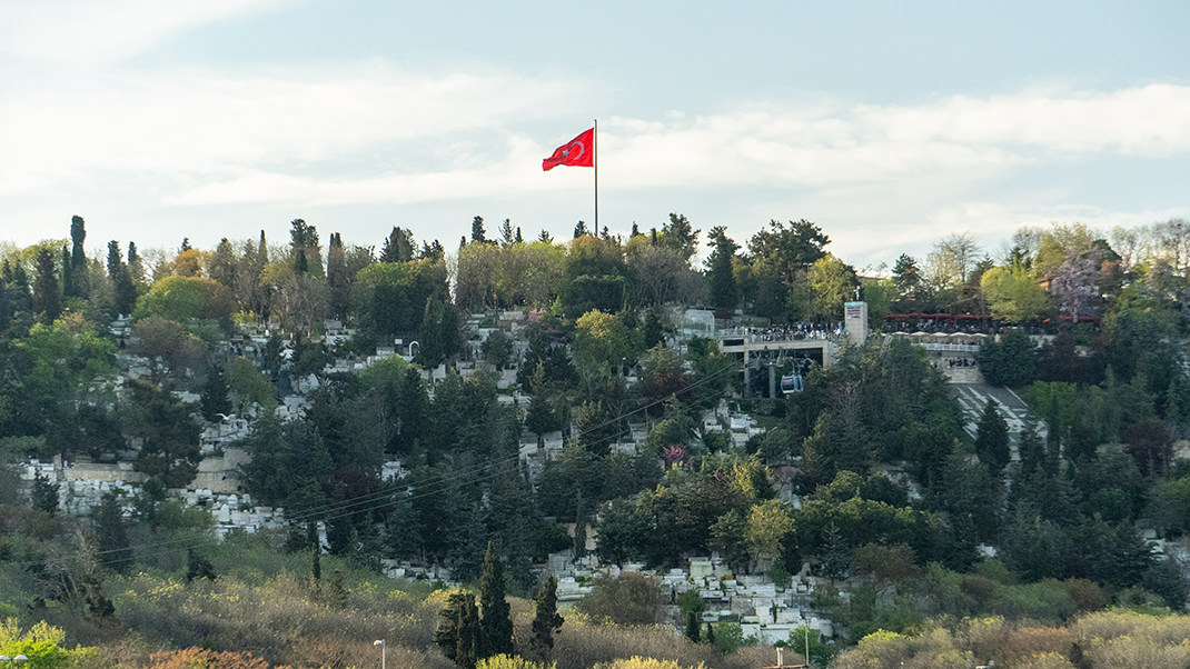
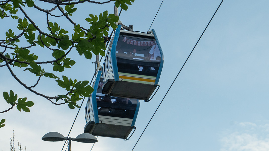

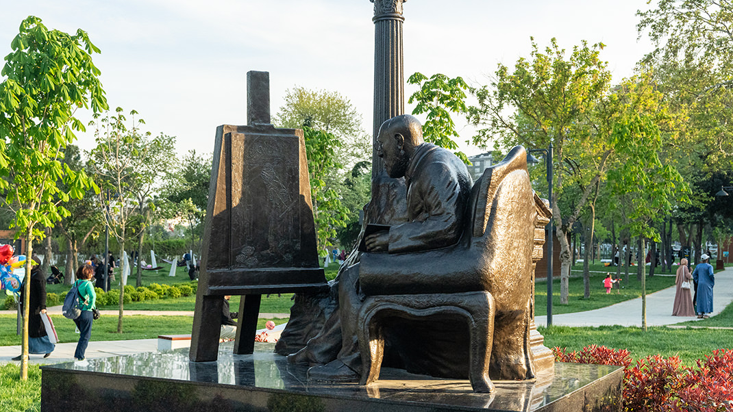
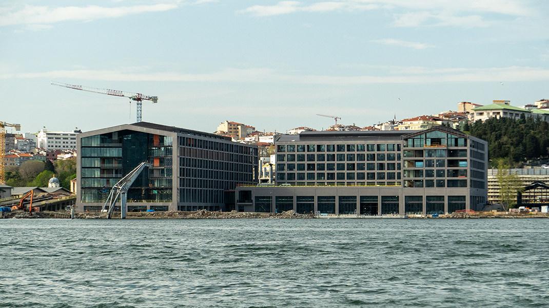
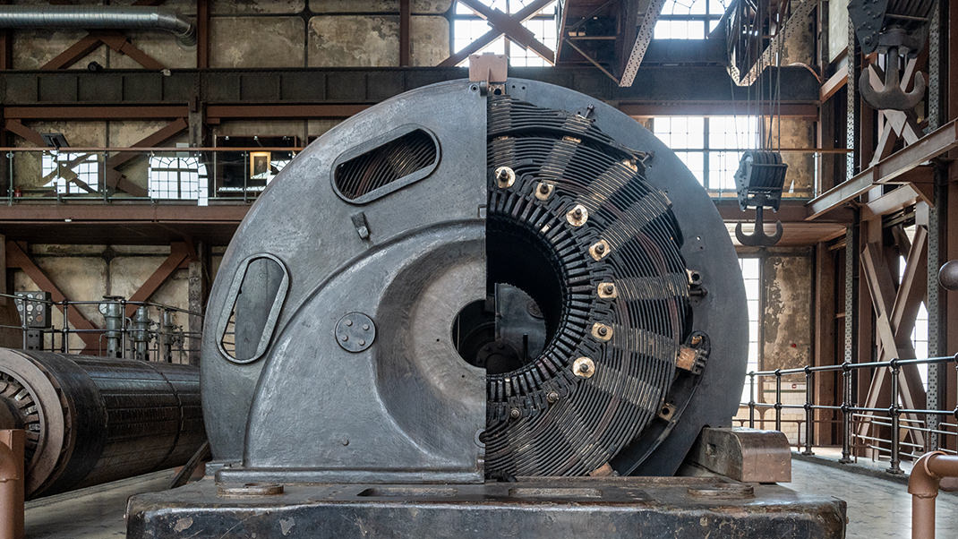
The next part of the walk passes through several more parks. If you have extra time, you can deviate from the route and visit SantralIstanbul, a museum located on the grounds of Istanbul’s first power plant.
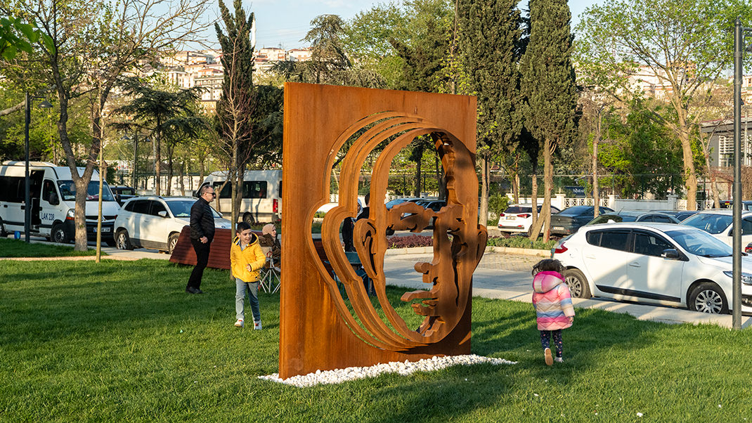
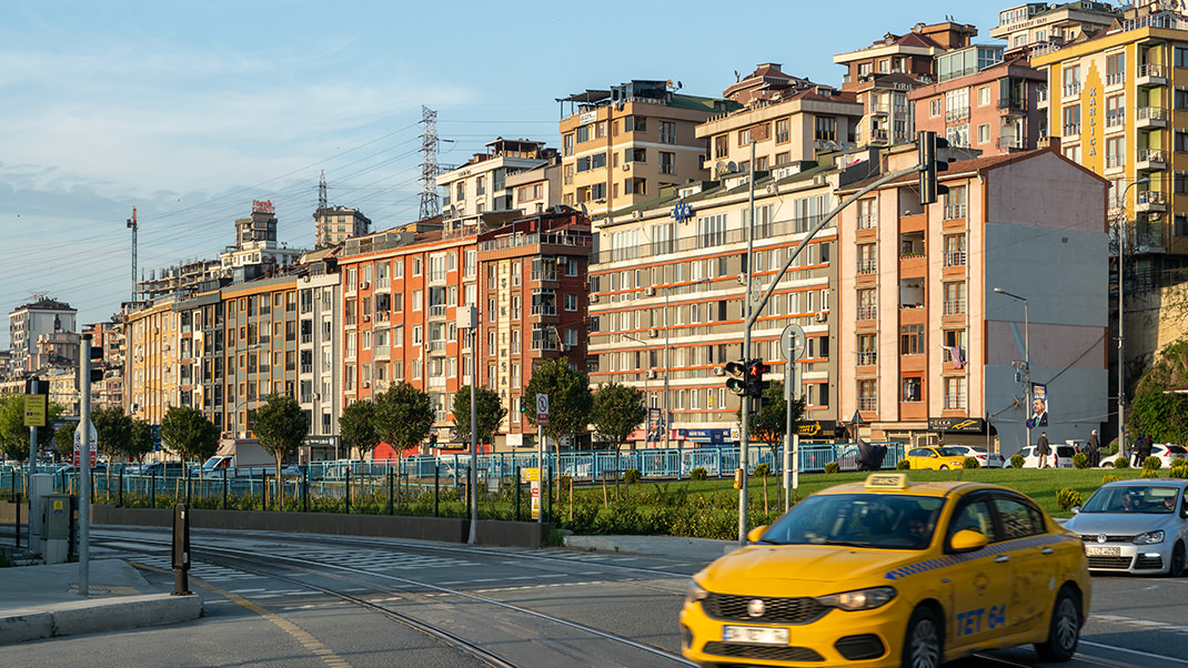
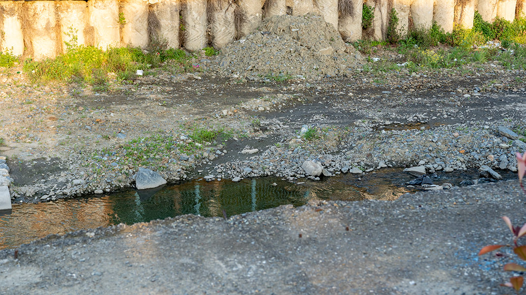
I end the walk at the "Alibeyköy" metro station, from where you can head back to the center. Here, the Golden Horn transitions into a small stream, eventually leading to the vast Alibey reservoir. Several aqueducts cross its waters, which I’ve mentioned in previous stories. A trip to the aqueducts is recommended for those who are tired of Istanbul’s popular landmarks and want to explore some of the less touristy spots in the big city.
Have a nice trip!


