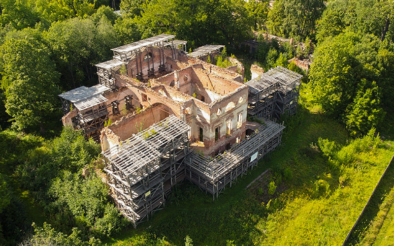
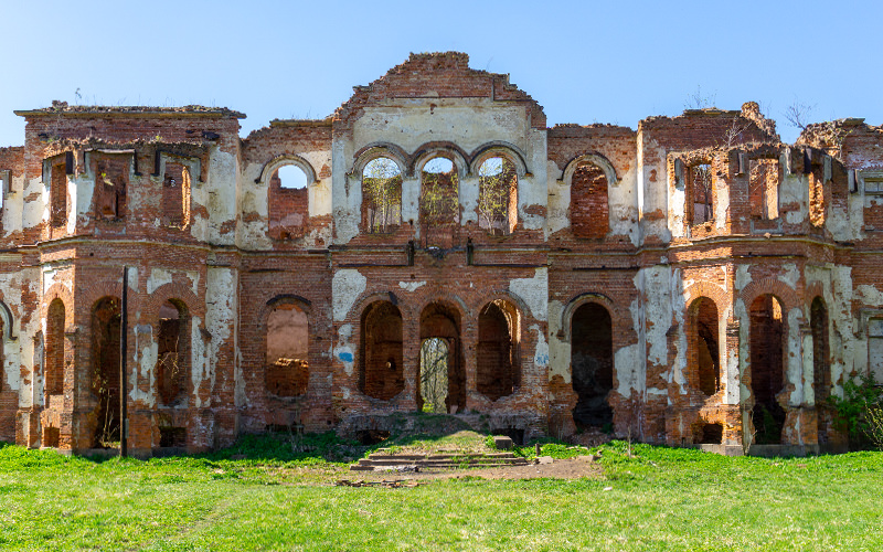
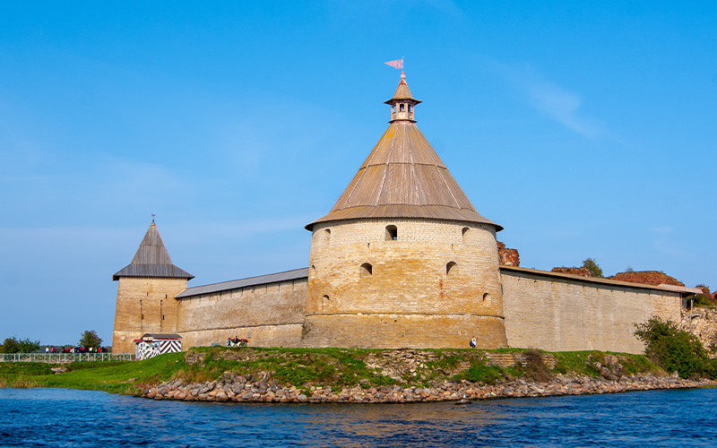
The Leningrad region is notable not only for its natural monuments, such as the Lindulov Grove or the Tosno and Sablin Waterfalls, but also for unique historical sites, including ancient fortifications beloved by tourists. Today, I want to tell you about one of them — Fort Ino, located on the northern shore of the Gulf of Finland. Its second name is the Nikolaevsky Fort, named after Emperor Nicholas II.
How to Get There
We drove to the fort by car, but according to online maps, it is also accessible by public transport. There is a bus stop called "21st Kilometer" near the fort, and buses and minibuses depart to this location from the Zelenogorsk train station.
Electric trains on the "Saint Petersburg — Zelenogorsk" route run from Finland Station.
Whatever mode of transport you choose, keep in mind that the journey to the fort will take quite some time, and in cold weather, it's better to leave earlier. On the day of our trip, it started to get dark around 4 PM.
A Bit of History
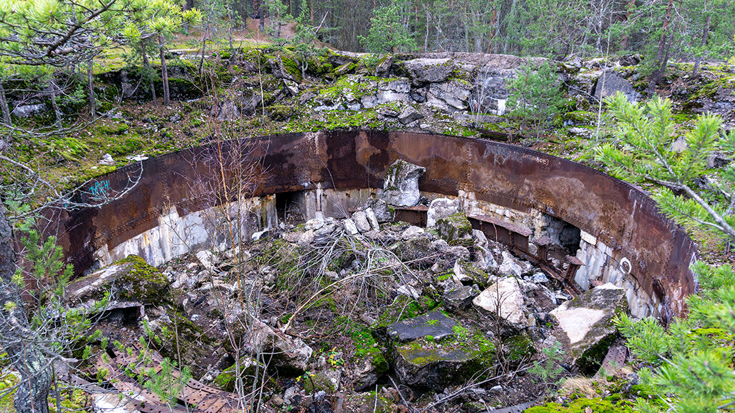
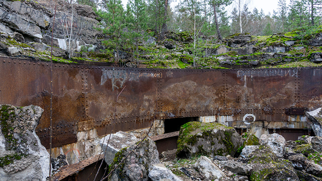
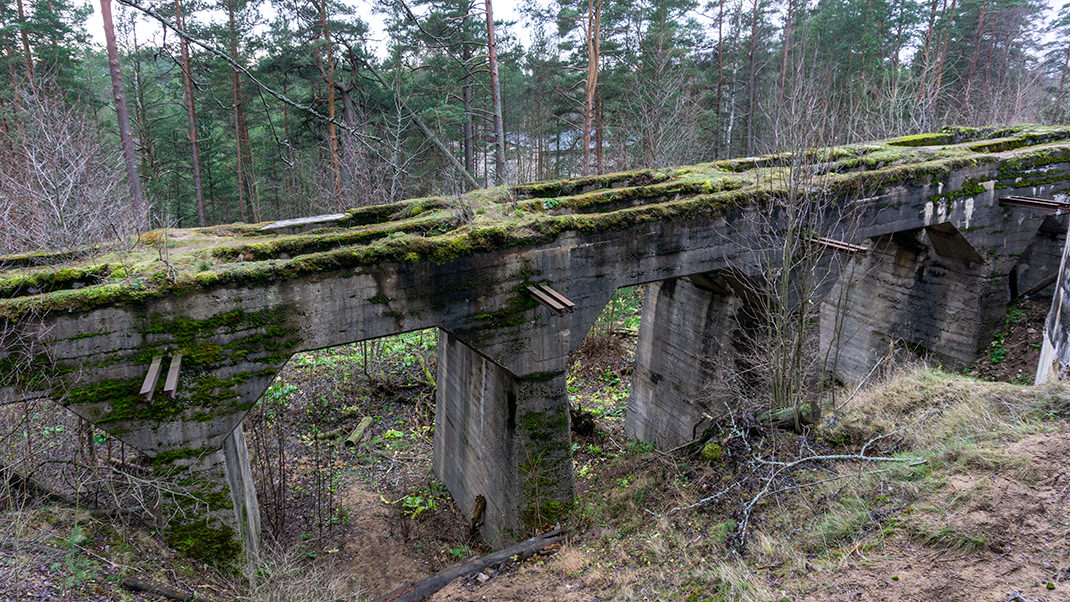
Construction of the fort took place over several years, from 1908 to 1916. Its cost was quite substantial for the time, amounting to about 13 million gold rubles. The territory housed both closed and open fortifications, as well as a whole system of artillery batteries equipped with the latest military technology. Railway tracks were laid between the batteries for the convenient delivery of shells. Long-range guns were mounted in special depressions and equipped with rotating mechanisms for 360-degree fire. The fort was surrounded by moats and a rampart, behind which was a strong concrete wall.
Ino reliably protected Saint Petersburg from the northern side of the Gulf of Finland, while its formidable counterpart, Fort Krasnaya Gorka, was located to the south. Together, they formed one of the most powerful and modern fortresses in the Russian Empire, nearly impregnable both from the sea and from land.
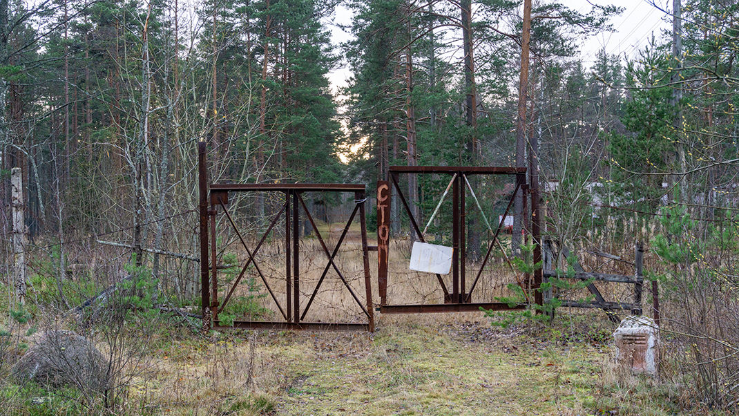

At its peak, the garrison numbered 5,500 personnel. However, the fort never realized its full potential or participated in real combat. On May 14, 1918, under the terms of the Brest Peace Treaty, the garrison was evacuated, and the fort was blown up. Its final destruction occurred only in 1920 by Finnish sappers, after which its restoration became impossible.
Until the 1990s, military units were stationed on the fort's grounds, but they were later withdrawn.
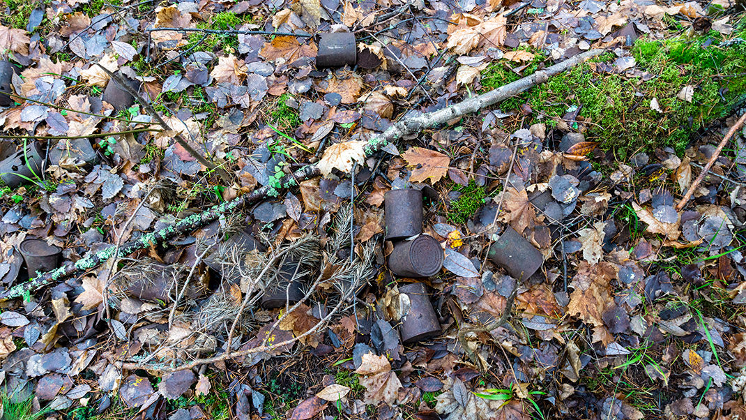
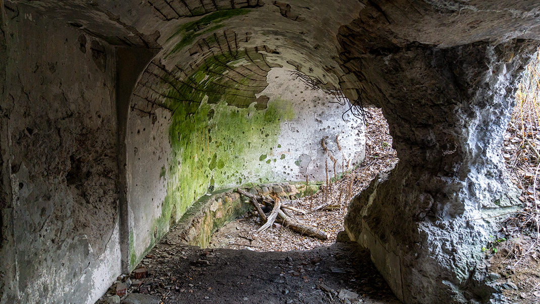
A Walk Around the Fort
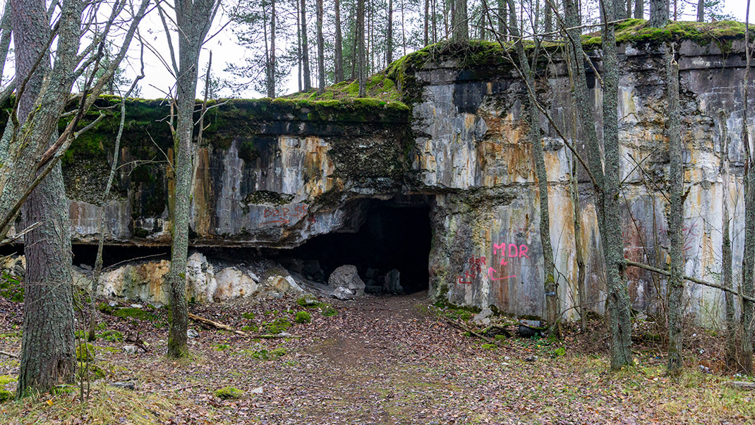
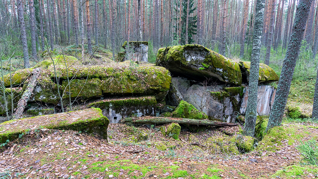
We had been planning to visit the fort for a long time, and autumn seemed like the perfect time to explore it. The leaves were already gone, and the temperature was quite comfortable. Upon arrival, we were truly impressed by the scale of the fortification. The first thing we saw was the earthen rampart, and behind it, we were greeted by the "reverse side" of Ino — very thick overturned and collapsed concrete ceilings and walls. It was evident that the construction had been done thoroughly.
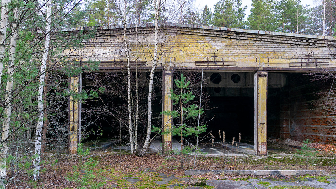
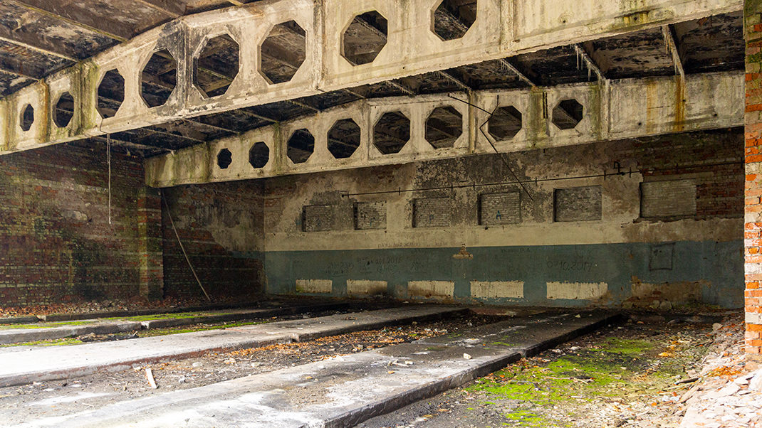
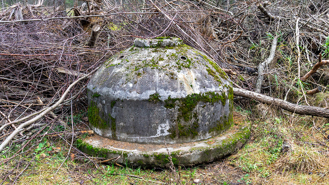
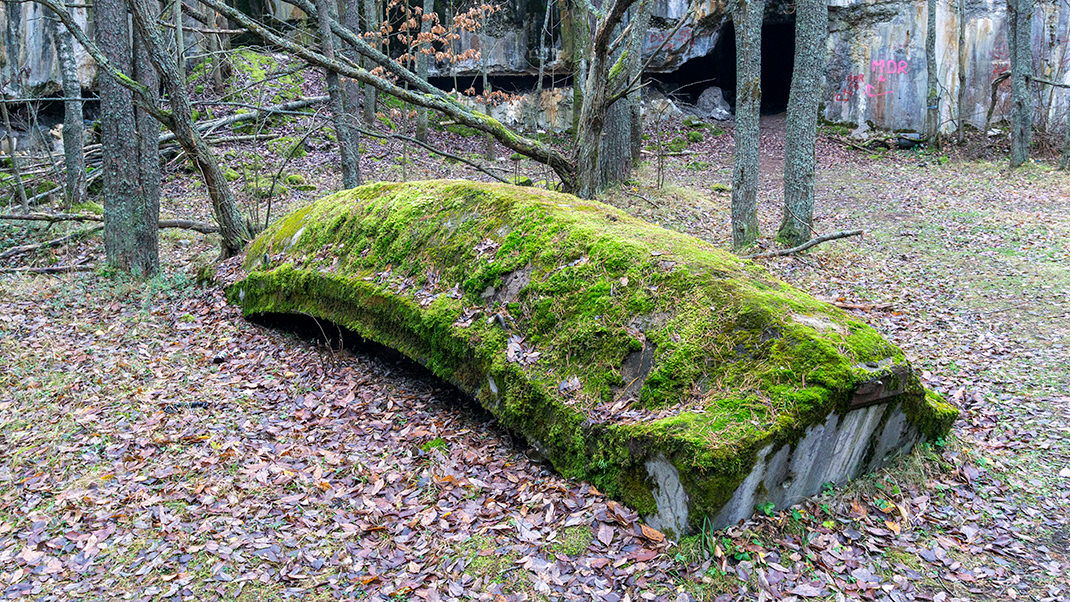
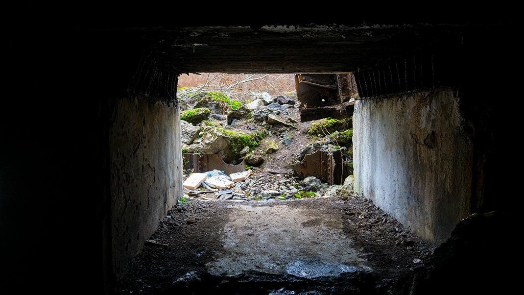
We couldn't resist exploring one of the internal rooms, then climbed to the roof of the fort itself, which was quite large in area. After descending to the base of the structure, we encountered several holes in the ground, which likely indicated a network of underground tunnels that had once been part of the overall fortification system. Here, under the layer of grass, we also noticed rails, probably used for transporting supplies and shells.
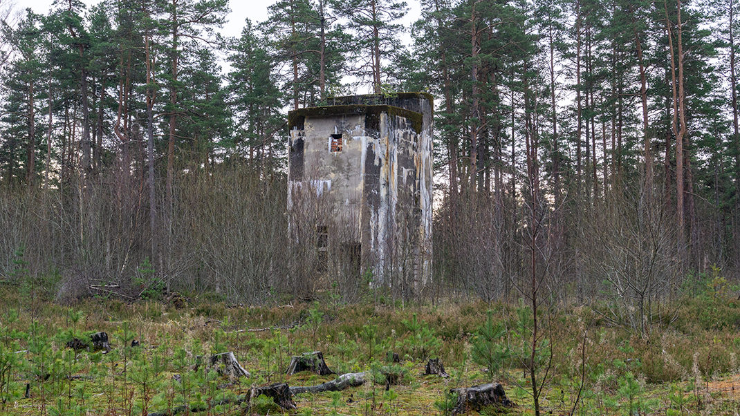
We continued our exploration of the fort's vast territory. During our four-hour walk, we discovered several earth and concrete fortifications, as well as the ruins of more modern combat sections.
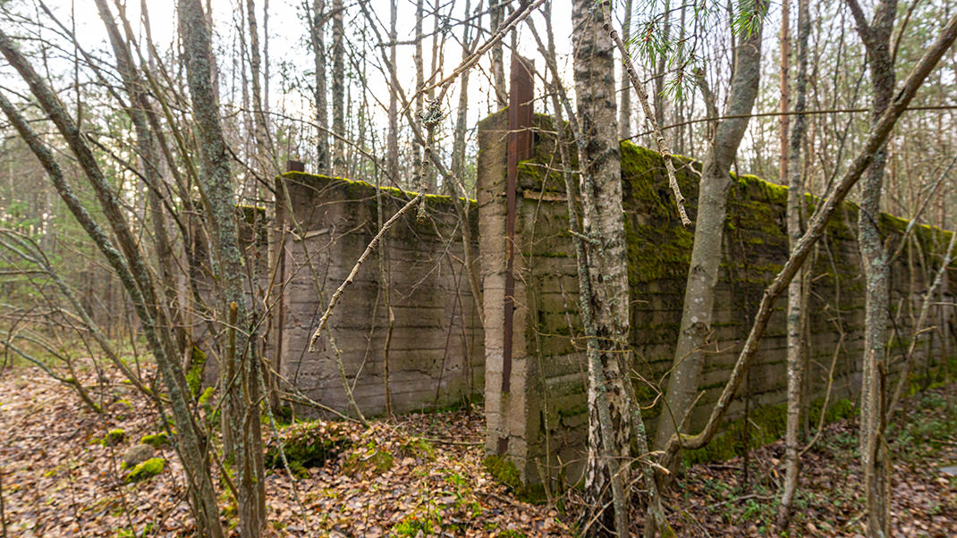
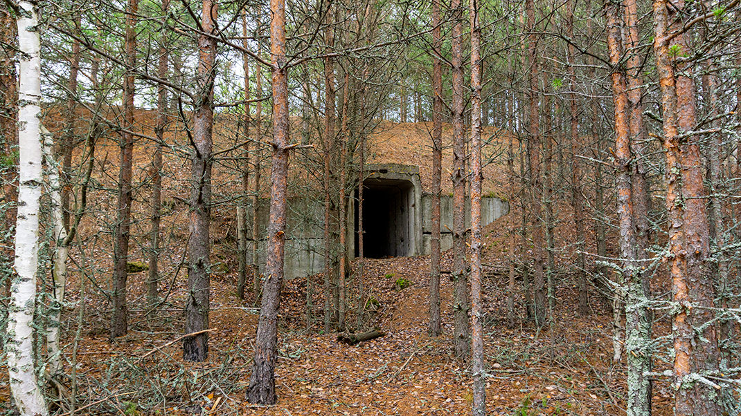
It should be noted that a full visit would require much more time than we spent, so we decided to return here in the future. If you are interested in fortifications but are not ready to travel such a long distance, we recommend checking out the fort Rif in Kronstadt.
In summary:
- A great place for fans of "abandoned" sites;
- One of the most interesting fortifications in the Leningrad region;
- Perfect for a full-day trip.


